drone industry
How Drought-Stressed Forests Are Becoming A Drone Mapping Vertical
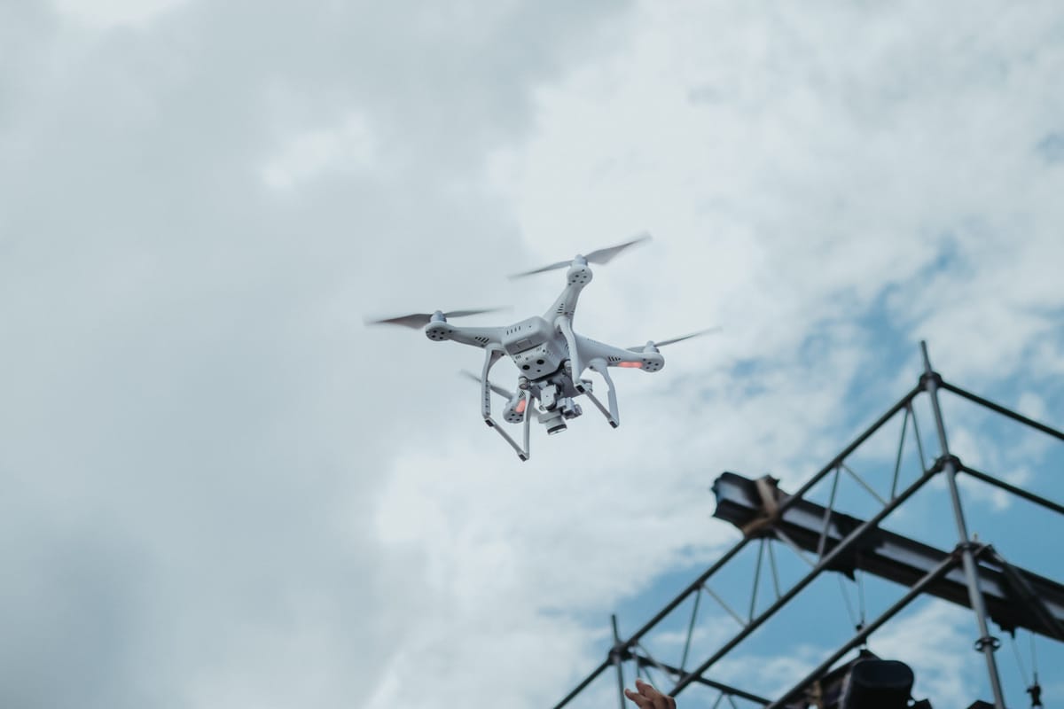
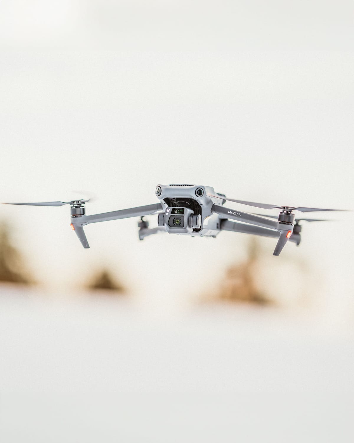
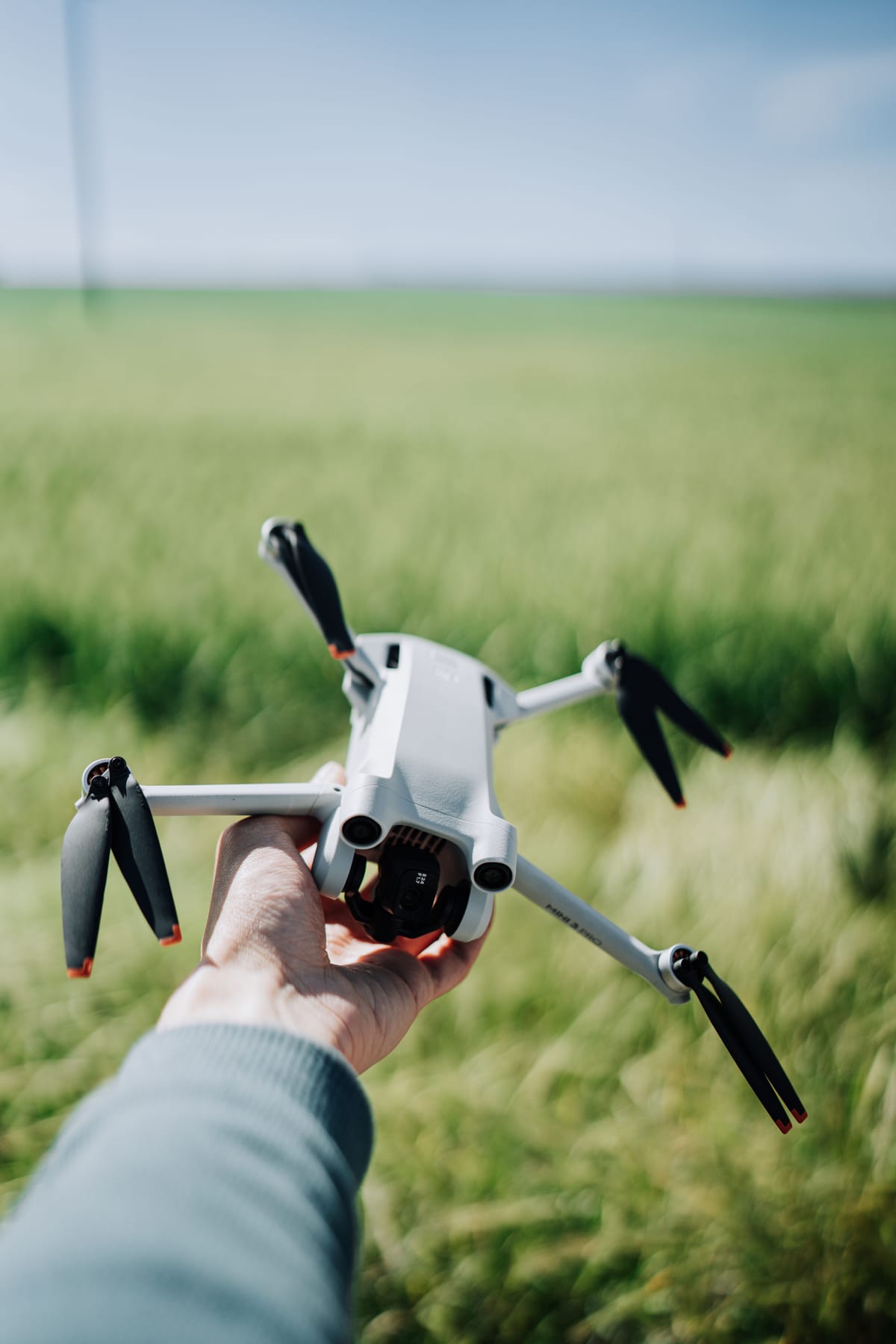
Drought, insects and disease are pushing forest managers toward better spatial data. Drones will not replace aerial detection surveys, but they can add high-resolution detail where decisions are local.