LiDAR Drone Pricing Is Dropping Faster Than Photogrammetry: What It Means For Survey Workflows
LiDAR payload pricing has moved into a range that mid-size survey teams can seriously evaluate. The result is not the end of photogrammetry, but a more project-specific sensor decision.
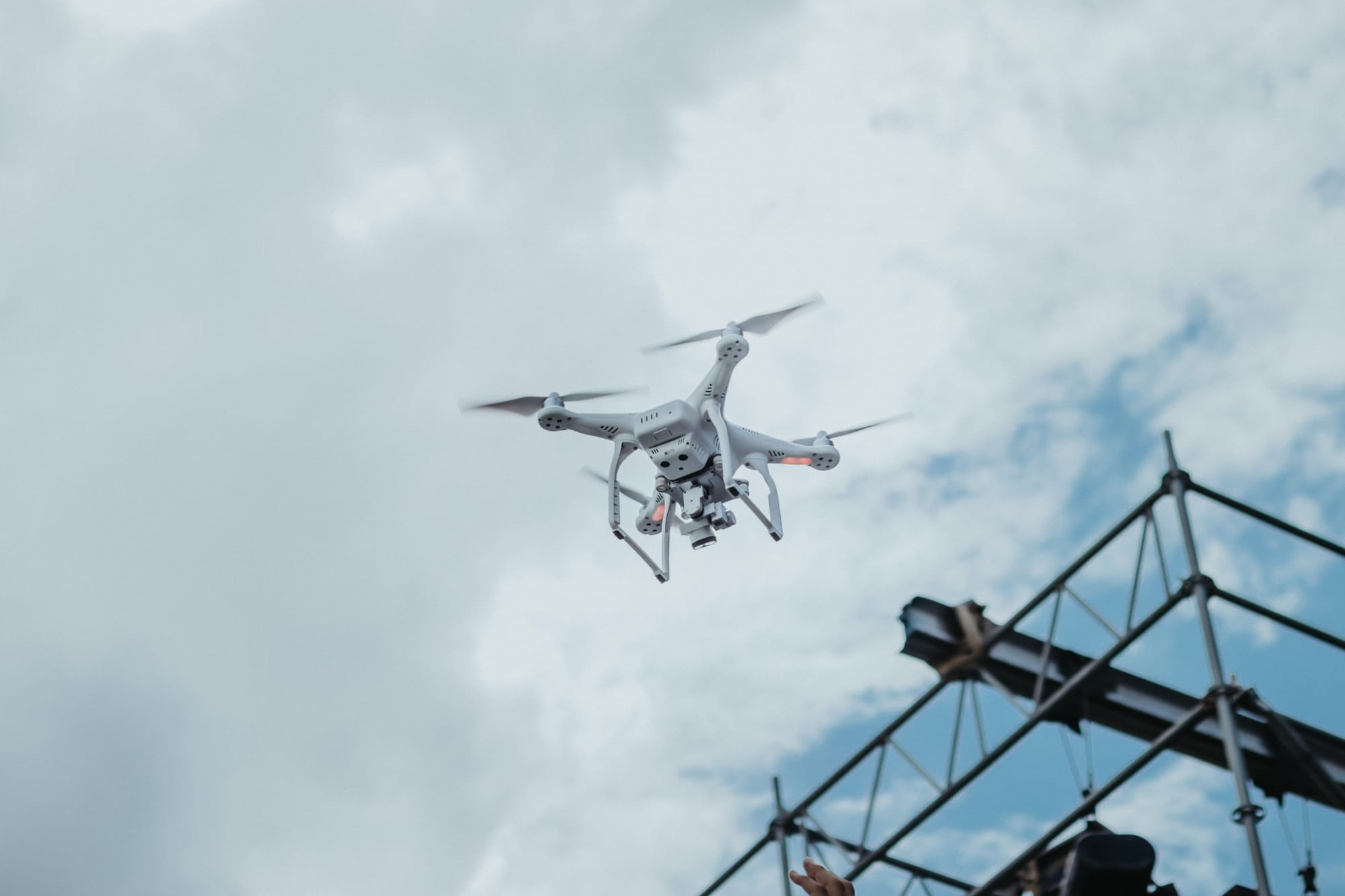
For years, drone survey teams treated photogrammetry as the default and LiDAR as the premium exception. That boundary is moving. Public pricing now shows credible LiDAR options that were difficult to imagine at those levels a few years ago, including the ROCK R3 Pro V2 bundle listed at $27,000 and a DJI Zenmuse L2 payload listed at $12,430 by a reseller.
That does not mean every low-cost LiDAR workflow is survey-grade for every job. Sensor quality, IMU/GNSS integration, calibration, processing software, control, vegetation and client tolerance still determine whether the deliverable is defensible. But the capital threshold has changed enough that more firms can evaluate LiDAR without reorganizing the entire business around one sensor purchase.
LiDAR Is Not Replacing Photogrammetry
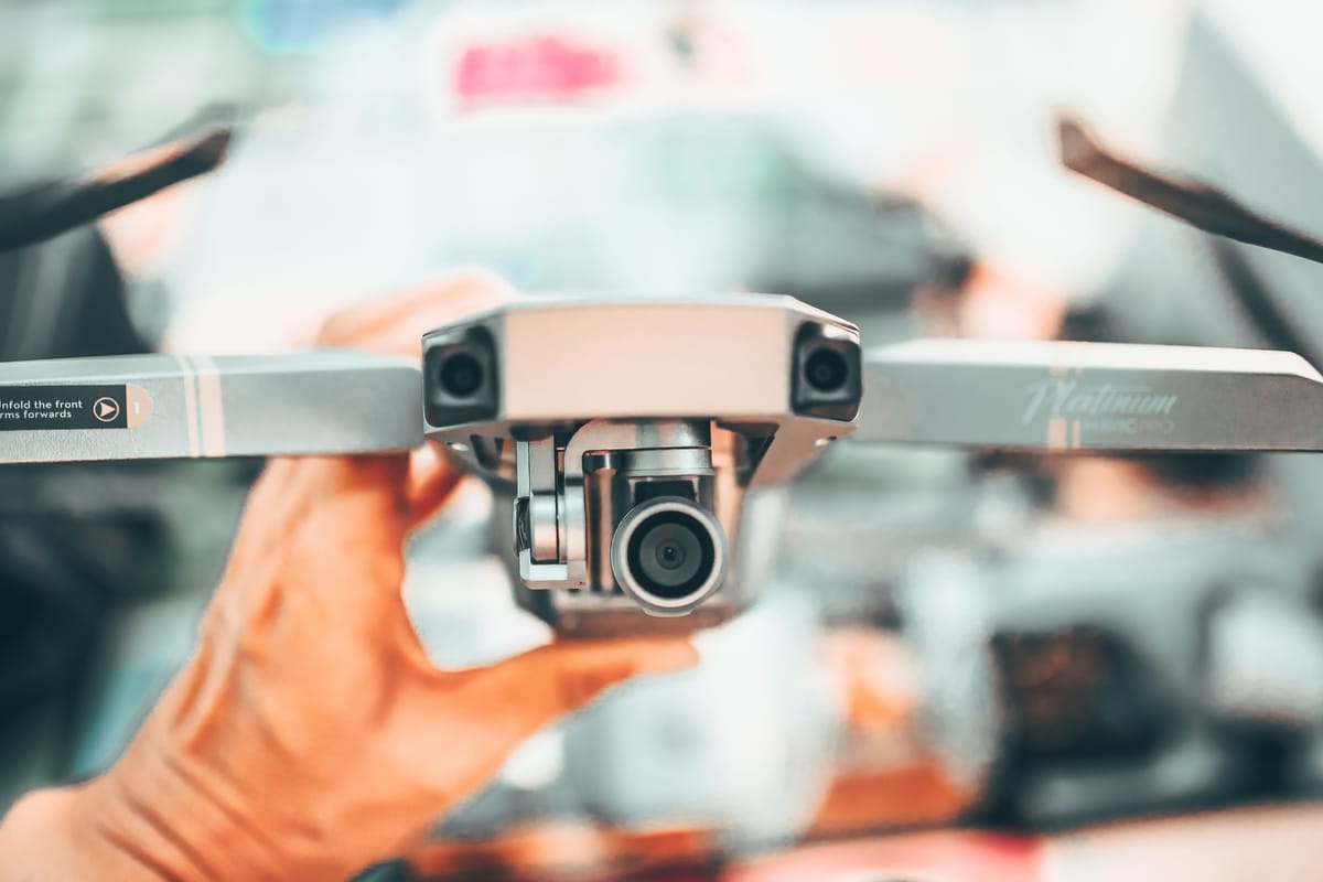
DJI describes the Zenmuse L2 as an integrated LiDAR, IMU and RGB mapping payload. That integrated model is part of the shift: operators can collect point-cloud and imagery data in a workflow that looks less like custom sensor integration and more like a supported enterprise-drone stack.
Photogrammetry still wins when texture, color, cost and large-area visual documentation are the priority. LiDAR becomes more attractive when vegetation, shadows, low light, uniform surfaces or vertical structure make image matching weaker.
What Survey Firms Should Reprice
- Capital recovery. Lower acquisition cost changes the number of jobs needed before LiDAR pays for itself.
- Processing time. LiDAR can reduce some field constraints, but classification and QA still require skill.
- Client education. Buyers need to understand why LiDAR is worth more on some sites and unnecessary on others.
- Hybrid deliverables. The stronger business model may be photogrammetry plus LiDAR, not one sensor replacing the other.
The Practical Takeaway
The 2026 workflow question is no longer simply, can we afford LiDAR? It is, which projects actually benefit from it, and can the team produce repeatable, QA-ready data at a price the client understands?

Related reading
Continue the thread.
Related posts are pulled from the same primary topic as the current article.
Microdrones And Survey-Grade Mapping Are Now In The Same Buying Conversation
Small drones, portable mapping platforms and lighter LiDAR payloads are changing buyer conversations, but operators should not confuse convenience with survey-grade capability.

Drone-in-a-Box For Perimeter Security: What Operators Need To Evaluate
Docked drones can make perimeter security more responsive, but the purchase decision should focus on airspace authority, alert quality, integration and maintenance, not just the dock.