How Drought-Stressed Forests Are Becoming A Drone Mapping Vertical
Drought, insects and disease are pushing forest managers toward better spatial data. Drones will not replace aerial detection surveys, but they can add high-resolution detail where decisions are local.
Forest-health monitoring has always been a remote-sensing problem. The US Forest Service describes aerial and ground detection surveys as a primary way to collect data on insect and disease impacts across treed areas. Drought stress adds another layer because mortality can emerge unevenly across slope, species, aspect and soil conditions.
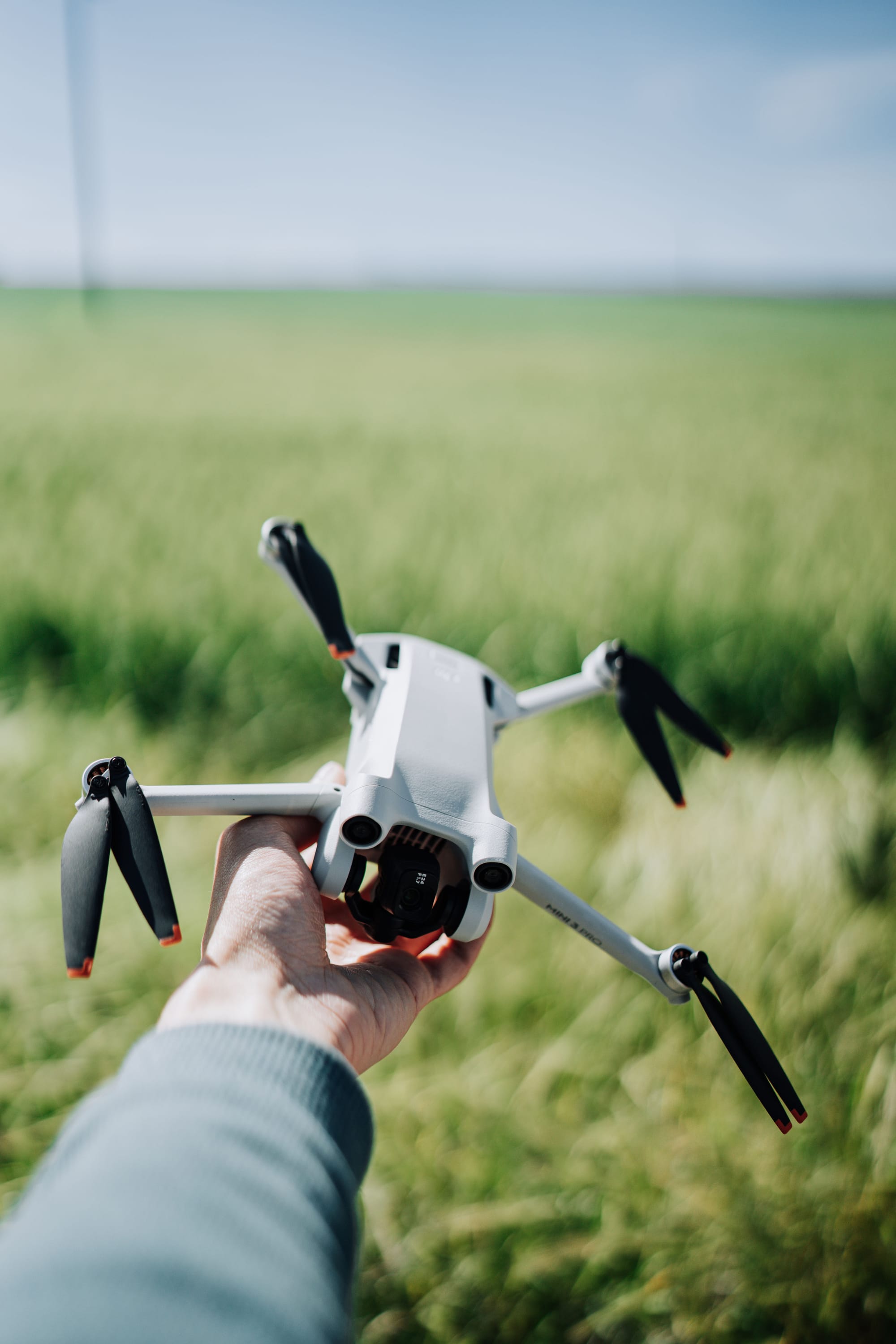
Drones fit into that picture as a local mapping layer. They do not replace staffed aerial detection surveys or satellite imagery. In fact, Forest Service methodology notes that UAS can cover only a few thousand acres at a time compared with large regional survey flights. That limitation is exactly why the vertical is interesting for commercial operators.
The Useful Niche Is Local Detail
A statewide or provincial forest-health program needs broad coverage first. A timber manager, utility corridor owner, municipality or conservation group often needs something different: high-resolution imagery over a specific stand, watershed, campground, road corridor or interface zone.
That is where drone mapping becomes practical. Operators can document canopy color, snag density, access constraints, erosion risk, post-treatment conditions and the relationship between dead fuel and nearby assets. The deliverable is not just a pretty orthomosaic. It is a decision layer for field crews and planners.
What The Data Package Should Include
- Repeatable flight plans. Mortality monitoring is more useful when the same areas can be flown again after heat, drought, pests or treatment.
- Ground truth. Drone imagery needs field observations so color changes are not misread as mortality without context.
- GIS-ready outputs. Forest clients need polygons, points, condition classes and maps that move into their existing systems.
- Safety planning. Terrain, smoke, crew access and airspace constraints can be as important as sensor choice.
The Practical Takeaway
The opportunity is not to claim drones can map every drought-stressed forest at continental scale. The opportunity is to provide targeted, repeatable, high-resolution information in the places where broad surveys show a problem and local managers need to decide what to do next.

Related reading
Continue the thread.
Related posts are pulled from the same primary topic as the current article.
The Flight Plan Needs A Workload Plan
Human factors matter on ordinary commercial drone jobs. Crews need roles, callouts, stop triggers and handoffs before one pilot is asked to watch everything at once.

Commercial Drone Demand Is Broadening, But Operations Are Still The Bottleneck
FAA and Transport Canada signals point to a larger commercial drone base, but the hard part is shifting from interest to repeatable operations, approvals and operator discipline.

Seven Drone-Related Public Companies To Watch In 2026
A fact check changes the draft framing: DJI and Skydio are not public stocks. For 2026, the better lens is public drone-related exposure, not a simple list of pure-play drone stocks.