Kazakhstan's Alatau City UAM Project And What It Signals For Drone Delivery In Central Asia
Alatau City's UAM project is not yet a proven commercial drone-delivery network, but its test center, partner mix and city-planning approach make it a serious signal for Central Asia.
Kazakhstan's Alatau City project is worth watching, but the draft overstated the current state by calling it an early-2026 commercial operation. The verified public record points to demonstration, testing and infrastructure planning, with commercial launch still ahead.
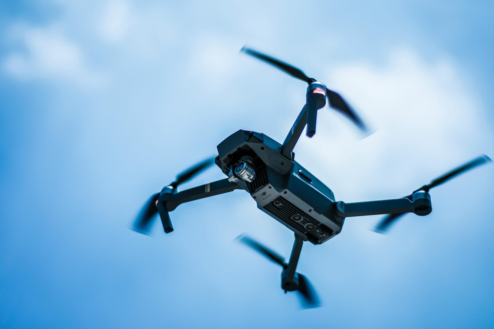
Alatau City reported the region's first eVTOL air taxi demonstration flight on May 19, 2026. Shortly after, A2Z Drone Delivery and Alatau Advance Air Group announced work around the UAM Test Center Eurasia, including docked drones, last-mile delivery concepts, infrastructure inspection, emergency response and autonomous patrol operations.
Why The Project Is Different
The A2Z announcement matters because Alatau City is being designed from scratch. That gives planners a chance to place vertiports, drone docks, digital traffic systems and low-altitude corridors into the city plan before the built environment hardens around cars and roads.
That is different from the North American pattern, where drone delivery companies usually retrofit operations into suburbs, shopping centers or distribution nodes that were never designed for aerial logistics.
What Operators Should Watch
- Regulatory sandboxing. Alatau's special regime could show how emerging markets test low-altitude rules faster than mature systems.
- Mixed operations. Cargo drones, air taxis and patrol drones will need separation and scheduling rules that work together.
- Infrastructure first. Docks, vertiports and charging can be planned as utilities rather than afterthoughts.
- Exportable model. If the test center works, the model could influence other Central Asian cities and industrial zones.
The Practical Takeaway
Alatau City is not proof that drone delivery has already scaled in Central Asia. It is a serious test of what happens when a city tries to design low-altitude mobility into the plan from the beginning.

Related reading
Continue the thread.
Related posts are pulled from the same primary topic as the current article.

The Flight Plan Needs A Workload Plan
Human factors matter on ordinary commercial drone jobs. Crews need roles, callouts, stop triggers and handoffs before one pilot is asked to watch everything at once.

Commercial Drone Demand Is Broadening, But Operations Are Still The Bottleneck
FAA and Transport Canada signals point to a larger commercial drone base, but the hard part is shifting from interest to repeatable operations, approvals and operator discipline.

Seven Drone-Related Public Companies To Watch In 2026
A fact check changes the draft framing: DJI and Skydio are not public stocks. For 2026, the better lens is public drone-related exposure, not a simple list of pure-play drone stocks.