
How Drones Cut Inspection Labor At The Savannah River Site
DOE says drones helped the Savannah River Site reduce wetland inspection labor, avoid access-path cutting and save more than $43,000 in one inspection case.
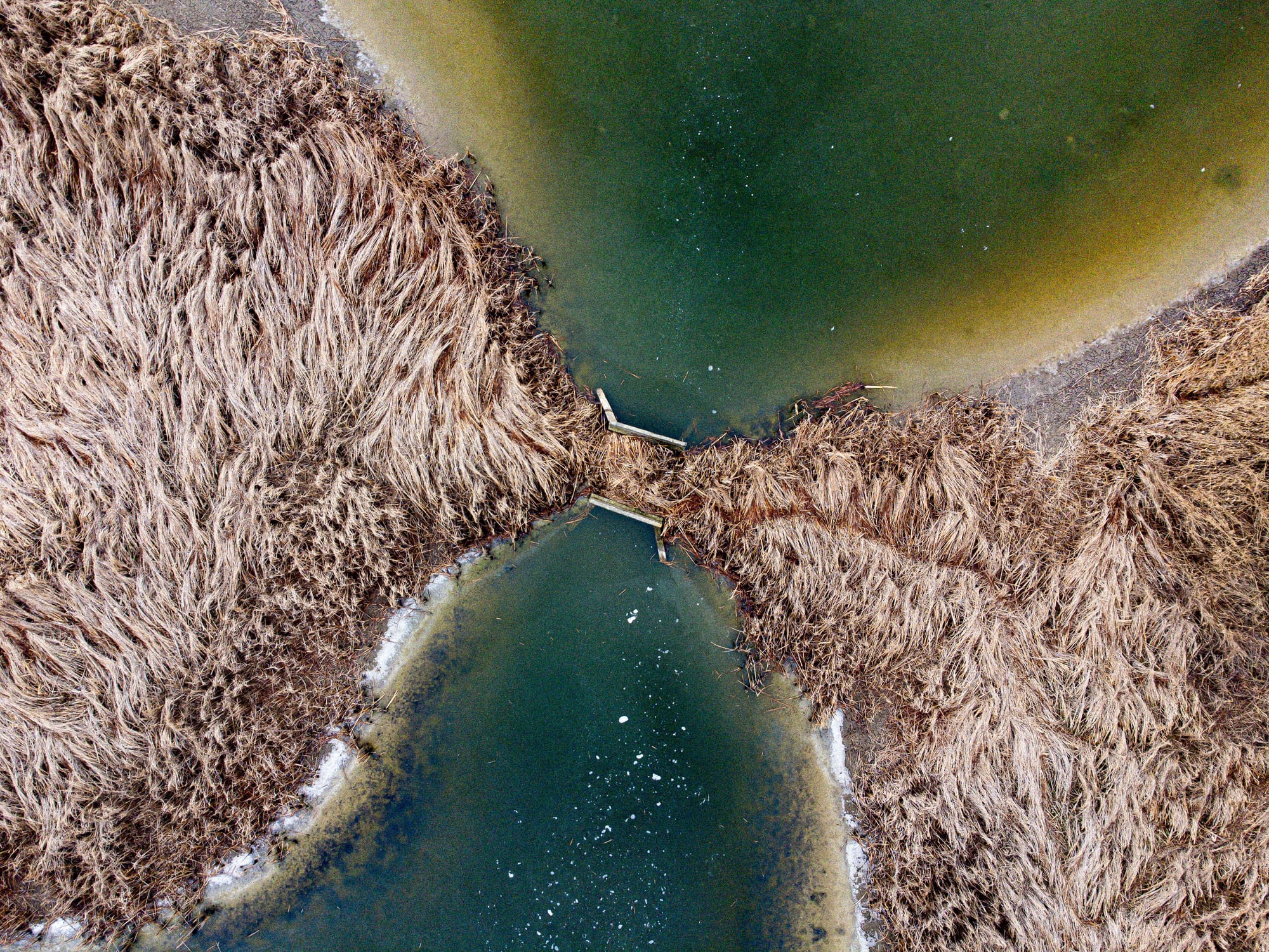
The clearest drone inspection wins often start with a simple access problem. If a crew has to cut paths through wetlands, haul equipment into rough terrain or climb structures to document conditions, the inspection is already expensive before the first photo is reviewed.
That is why the Savannah River Site example is useful. DOE Environmental Management says Savannah River Nuclear Solutions and Savannah River National Laboratory have been using drones at the South Carolina site since 2017, with more than 50 flights since 2023 for infrastructure inspection, emergency response, radiation detection and training.
What DOE Says Changed
The program is aimed at hard-to-access assets across the site, including water storage tanks, river water piping corridors, fire water tanks, roof systems, power distribution equipment, steam pipelines and covered waste sites. Those are exactly the kinds of places where manual inspection can turn into a logistics project.
DOE says river water piping inspections in wetland terrain previously required 2 to 6 workers to cut access paths and move equipment. The drone workflow removed that requirement for the inspection work. In one case study, DOE reported more than $43,000 in savings after shifting the inspection approach.
The same DOE report also points to a separate sustainability award tied to drone use for vegetation control on two closed reactor buildings, with reported annual savings of more than $170,000. Those figures should not be copied blindly into every commercial business case, but they are useful because they show how the savings were framed: labor, access, safety and site preparation.
Why The Labor Reduction Matters
For commercial teams, the headline is not that a drone took pictures. It is that the inspection no longer required a small crew to prepare a difficult route before any inspection data could be collected. That is where many infrastructure programs quietly lose time and margin.
The same pattern shows up in utilities, pipelines, industrial facilities and water infrastructure. A conventional inspection plan may include access clearing, spotters, lift equipment, confined-area planning or follow-up restoration. A drone program does not erase every safety requirement, but it can move the first look away from a boots-on-ground entry and toward a controlled aerial capture.
Aerosyne has covered this shift in utility work as docked drones change how utilities inspect infrastructure. The Savannah River Site example is another version of the same operational point: value appears when the aircraft reduces site friction, not when it is treated as a novelty.
The Business Case Needs Baseline Numbers
The practical lesson for operators is to document the current inspection cost before proposing drones. How many people does the existing route require? How many days does it take? What equipment is needed? Is there access clearing, environmental restoration or downtime tied to the work?
Those numbers turn a drone proposal from a technology pitch into an operations comparison. If the current route requires 2 to 6 workers and environmental access work, a smaller aerial inspection crew has a concrete cost target to beat. If the current route is already simple and safe, the business case may need to focus on speed, data quality or repeatability instead.
What Commercial Teams Should Copy
The Savannah River Site program is not a template for every facility, especially because nuclear cleanup sites have their own safety, security and regulatory requirements. The parts worth copying are more basic.
Start with assets where access creates real cost or risk. Build the flight workflow around the inspection question, not around generic aerial footage. Decide how imagery will be reviewed, stored and compared over time. Then tie the result back to measurable labor, safety or schedule reduction.
That approach also keeps claims honest. A drone inspection program does not need to promise that every manual step disappears. It needs to show which steps are reduced, which risks are lowered and which decisions can be made sooner because the site team has better visual data.
The Practical Takeaway
The Savannah River Site example is a reminder that drone inspection value is often found before the aircraft ever reaches the asset. If the drone removes access-path cutting, reduces crew size and documents hard-to-reach infrastructure without putting people in the same position, the savings are operational, not cosmetic.
For commercial drone teams, that is the useful message to bring into infrastructure conversations. Lead with the access problem, show the current cost and then explain exactly where the drone workflow changes the job.

Related reading
Continue the thread.
Related posts are pulled from the same primary topic as the current article.
A 12-Hour Drone Changes The Planning Problem For Remote Inspections
Airbus and Voyageur's first Canadian U030 Flexrotor order is a useful signal for inspection teams. Longer endurance only helps when supervision, recovery and data handoff are planned together.
Autonomous Docked Drones Are Changing How Utilities Inspect Infrastructure
Docked drone systems are shifting utility inspections from annual patrols to recurring, data-rich monitoring. Operators who want to stay relevant need to understand the data workflow, not just the aircraft.
Offshore Wind Inspections Are Quietly Becoming The Most Demanding Drone Mission Set
Offshore wind inspections combine blade-detail requirements, marine weather, vessel logistics and airspace constraints. For drone teams, it is one of the hardest commercial mission profiles.