
The Pilot Is 350 Kilometres Away: What Remote Drone Surveys Change on a Transmission Build
A transmission project in New South Wales is now surveyed by a docked aircraft flown from an operations centre more than 350 kilometres away. The pattern matters more than the provider: recurring surveys become scheduled infrastructure work, and the approval becomes the asset you operate.

The drone is on site. The pilot is 350 kilometres away.
On 13 October, the HumeLink West project in New South Wales said automated beyond visual line of sight (BVLOS) drone surveys are now flying over an active transmission build, controlled from a remote operations centre in Lane Cove, Sydney, over 350 kilometres from the site. Drone services provider Skyports Drone Services runs the system for the CPB Contractors and UGL joint venture, delivering the project for network owner Transgrid.
The scale explains why the approach is worth studying. HumeLink West covers roughly 140 kilometres of new 500 kV double-circuit transmission line and two substations. The aircraft lives permanently at the Maragle substation construction site in a secure weatherproof box, on mains power for recharging, with scope to add solar where grid power is not practical. A service visit every three months keeps the system in condition. Flights are run from the remote operations centre over secure communications with live video, and the project describes automated surveys on a two-week cycle. It is also the first project in the CIMIC Group to be authorised by the Australian regulator for remote drone operations.
What the numbers actually say
Compared with conventional on-site drone surveys, the remotely operated aircraft can survey up to five times as much ground in a day. Missions routinely run 8 to 10 kilometres, against roughly 0.5 to 1 kilometre for conventional visual line of sight work. None of that is a payload claim. It is what stops timing out when nobody has to drive to the site, set up, and fly a small grid before the light goes.
Three things change when the pilot leaves the site
First, the cadence stops depending on a crew. Surveying becomes a scheduled deliverable rather than a sortie, so the project gets a consistent picture at a fixed interval. The imagery is processed into two and three dimensional site models that are compared over time, and that comparison is what makes progress monitoring and early issue spotting work at all.
Second, the launch point becomes infrastructure. A dock is only as good as the place it sits in: power, connectivity, physical security, and permission from whoever controls the construction area. It also needs an owner in the maintenance schedule. A quarterly service visit is a small line item that decides whether the programme runs through winter.
Third, the approval becomes the thing you actually operate. These flights rest on a broad area BVLOS approval from Australia's Civil Aviation Safety Authority, which allows the operator to self-authorise qualifying missions in eligible remote and sparsely populated areas. That is a different shape from a waiver per flight. The authorisation is a programme asset: built once, screened site by site, and maintained as conditions change. Canadian operators assemble the same kind of asset from different parts (a Special Flight Operations Certificate, declared operations, safety assurance declarations under Standard 922), but the organising question is identical. Which site decisions can we make ourselves, and what evidence do we hold to defend them?
The groundwork is not optional
Before any of this, the project ran a twelve month extended visual line of sight (EVLOS) campaign, using LiDAR-equipped aircraft to map terrain and track vegetation clearing across the corridor. EVLOS work continues alongside the remote programme, including aerial stringing of transmission towers. That sequence is the honest one. You build the corridor model, the site files and the safety case on an approval you already hold, then step up. Teams that try to start at BVLOS are asking a regulator to fund their learning.
What goes in the file
Corridor models and the flight paths actually flown. The dock's configuration, power arrangement and maintenance record. The approval basis, plus the screening decision for each site. Per-flight records, and the change detection outputs handed to the client. The project director's framing is the right one: consistent information the site team can act on, and fewer people standing in active construction areas.
The takeaway
The interesting part is not the aircraft. A recurring survey programme can now be scheduled like any other piece of site infrastructure, which moves the cost conversation upstream. Approvals, dock siting and operations centre staffing come before the airframe, and those are the parts that decide whether a programme survives its second winter.

Related reading
Continue the thread.
Related posts are pulled from the same primary topic as the current article.
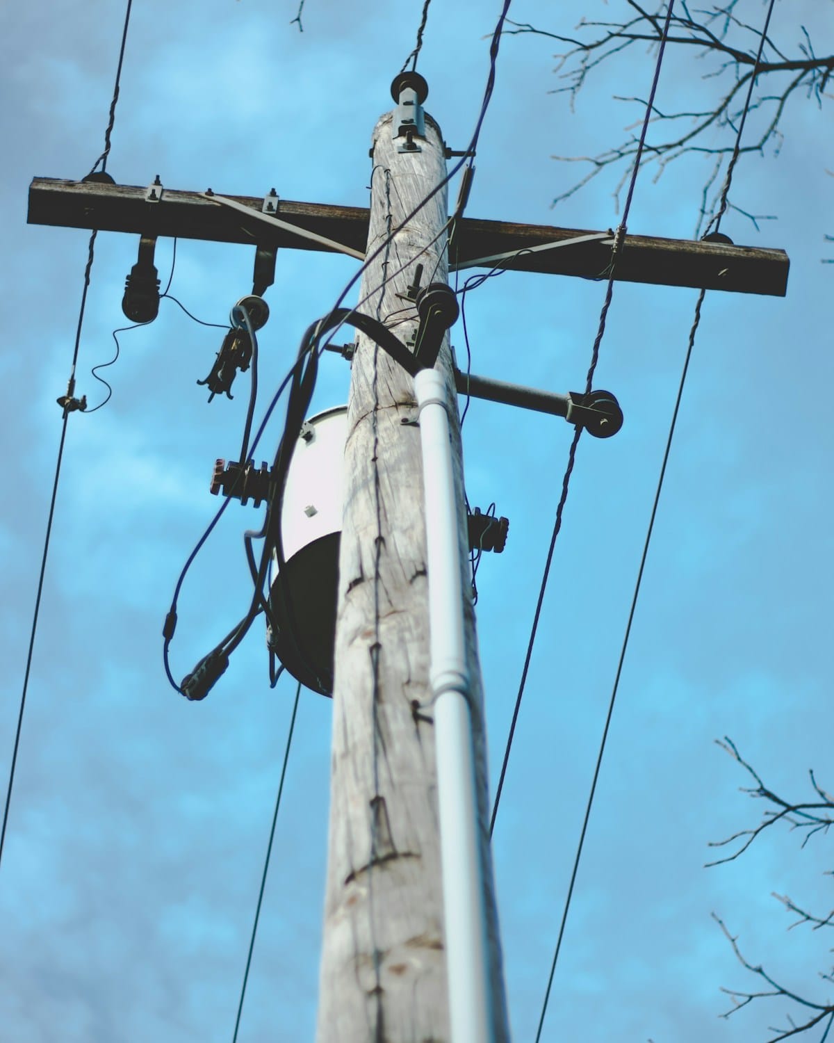
The Dataset Is the Deliverable: What a Transformer Inspection Program Has to Prove
A transformer inspection program creates value when each image is tied to the right asset and condition decisions can be traced to evidence.
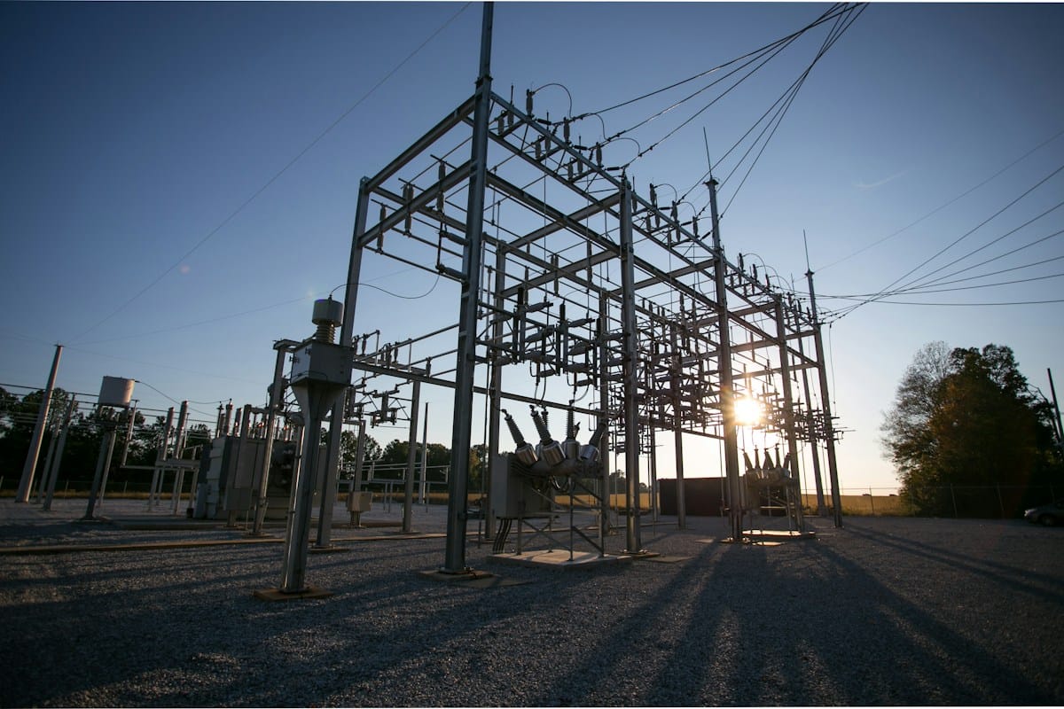
China's Export List Just Drew a Line Through Long-Range Inspection Aircraft
China's revised dual-use export list sets technical thresholds that reach some inspection aircraft and components. Buyers should map specifications and licensing needs before 18 November.

The Fire Season Ends. The Aerial Damage Assessment Is Just Starting.
Public Safety Canada's October update closed the 2026 wildfire season at more than 5,400 fires and roughly 4.5 million hectares burned. The recovery phase that follows runs on aerial evidence, and a proven federal deployment shows what that programme has to produce.