The Case for Pre-Loss Drone Documentation Before Hurricane Season Hits
Hurricane season starts June 1st. For drone operators working in insurance inspection, the window to help property owners build pre-loss documentation libraries is closing fast, and the workflow has gotten significantly more operationally viable.
Hurricane season in the United States is roughly 5 weeks away. If you're running drone inspection operations in the southeastern US, Gulf Coast, or Atlantic states, that's not an abstract deadline, it's a business planning constraint. And right now is the window when property owners are most receptive to doing something they rarely think about until it's too late: establishing a documented baseline of what their buildings looked like before the storm.
Hurricane season in the United States is roughly 5 weeks away. If you're running drone inspection operations in the southeastern US, Gulf Coast, or Atlantic states, that's not an abstract deadline, it's a business planning constraint. And right now is the window when property owners are most receptive to doing something they rarely think about until it's too late: establishing a documented baseline of what their buildings looked like before the storm.
The Documentation Gap in Commercial Property
Commercial property insurance claims hinge on a single question: what damage is new versus pre-existing? This sounds straightforward until you're dealing with a roof that's been inspected annually for a decade, a facade with known cosmetic wear, or a parking lot where pre-existing drainage issues are already on record. Without date-stamped, GPS referenced documentation that predates the loss event, every one of those conditions becomes a dispute.
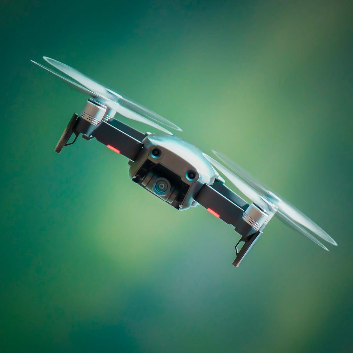
The traditional alternative; scaffolding, swing stages, or inspectors walking a roof, is slow, expensive, and produces sparse documentation. An adjuster walking a roof with a clipboard captures a fraction of what a drone-mounted camera array captures in a fraction of the time. And for properties with any meaningful footprint, the cost differential is substantial.
Pre-Loss Documentation: What It Actually Involves
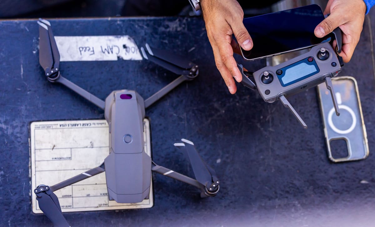
A pre-loss drone inspection for commercial property is straightforward in structure: capture high-resolution imagery and video of the exterior envelope; roof, facade, windows, parking lot, drainage, with GPS coordinates and timestamps attached to each capture point. That data then goes into a record that the property owner maintains.
The operational value shows up after a storm event. When a claim needs to be filed, the owner can provide an objective, timestamped record of the property's condition before the loss. This doesn't guarantee a smooth claims process, coverage terms, policy limits, and adjuster assessments all still intervene, but it eliminates one of the most common friction points: the "was this pre-existing or new damage" dispute.
Why the Timing Window Matters
Property owners think about insurance documentation in a specific cycle. Pre-season is when renewals are being reviewed, coverage gaps are being discussed, and budgets are being set. Post-storm is when they discover the gap. The window between now and June 1st is the period when a commercial property owner or property manager is most likely to say yes to an annual inspection contract because they're already reviewing their coverage posture.
For drone operators, this is a different sales motion than emergency post-storm response. Post-storm work is high-volume and time compressed, and often handled by operators with established adjuster relationships. Pre-season documentation is more predictable, often structured as annual or bi-annual retainers, and doesn't depend on a storm actually hitting.
The Data Management Piece
One operational reality worth being direct about: pre-loss documentation only works if the data is accessible when it's needed. A drone inspection that produces excellent imagery but gets stored on a local drive that the property owner can't access during a claims emergency doesn't fulfill its purpose. Operators building pre-loss documentation services need to think about data delivery and storage as part of the service, not an afterthought.
Cloud-connected deliverables with role-based access for the property owner, their broker, and their insurer have become the baseline expectation. The operators who are building recurring inspection businesses around pre-loss documentation are the ones who've figured out the data delivery workflow. Here at Aerosyne Technologies, we are making that easy for all who are involved with the operation.
What's Changed Lately
The workflow for drone-based insurance inspection has matured. High-resolution imagery at the level adjusters and engineers need for defect identification is now achievable with equipment in a mid-tier price range. Processing turnaround for a commercial property inspection, roof, facade, exterior, is measured in hours, not days. And PE certified inspection reports, which carry significant weight in disputed claims, are increasingly common in the operator market.
None of this is science fiction. It's operational capability that's available now. The constraint isn't technology, it's awareness on the property owner side and sales execution on the operator side.
The Takeaway for Operators
If you're running inspection operations in coastal or storm exposed markets, the pre-season window is the right time to have the pre-loss documentation conversation with property owners and property managers on your client list. Frame it not as selling another flight, but as selling a record that protects the owner's position when the next storm season generates claims.
The operators who built relationships with commercial property clients before Hurricane Ian, before Helene, had data that mattered during the claims process. That's the reference case that sells the next contract.

Related reading
Continue the thread.
Related posts are pulled from the same primary topic as the current article.
A Practical Fleet Operations Playbook For Commercial Drone Teams
A commercial drone fleet needs more than extra airframes. Build clear aircraft records, pilot currency checks, data custody and job handoffs before the work becomes harder to control.

You Own A Business That Flies Drones: What Building A Drone Photography Career Actually Takes
A recent Commercial UAV News webinar made the point plainly: a drone photography career is a business first and a flight skill second. Pricing, post-processing, backups and compliance decide whether the work lasts.
Precision Ag Drone Spraying Hits An Inflection Point: Service Provider Economics In 2026
Drone spraying is becoming a more practical service line, but the economics still depend on certification, label compliance, crew design and repeatable acreage, not just aircraft cost.