Microdrones And Survey-Grade Mapping Are Now In The Same Buying Conversation
Small drones, portable mapping platforms and lighter LiDAR payloads are changing buyer conversations, but operators should not confuse convenience with survey-grade capability.
The buyer conversation around mapping drones has changed. Small, portable aircraft are becoming more capable, while LiDAR payloads are getting lighter and cheaper. That does not mean a sub-250 gram drone is now a survey-grade LiDAR platform. It means buyers are comparing portability, accuracy and cost in the same procurement conversation.
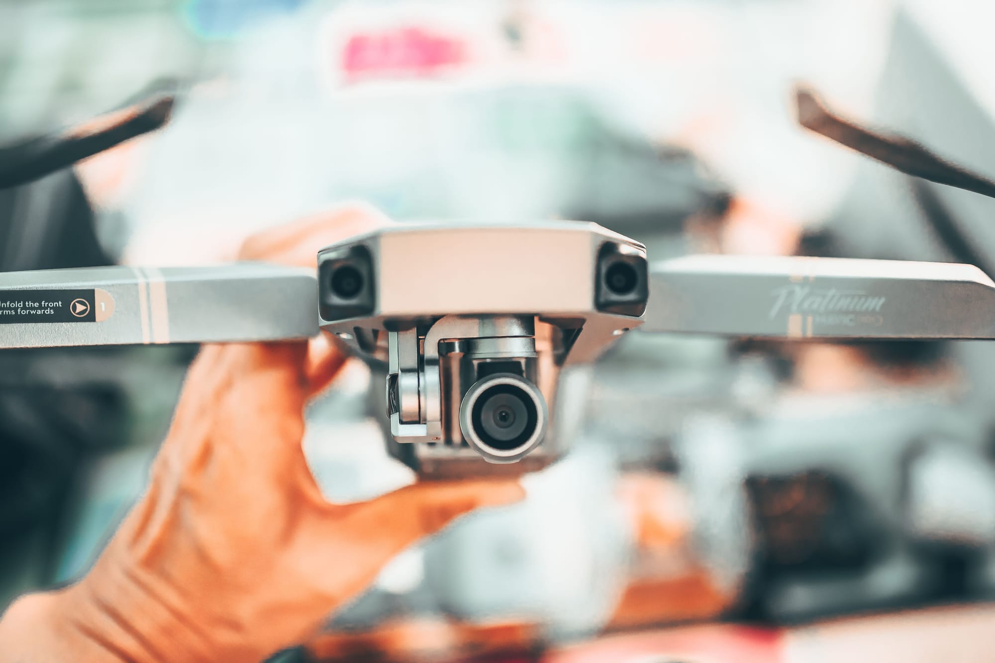
DJI's land-survey materials position the Matrice 4E as a portable surveying and mapping drone with RTK and mechanical-shutter capability. At the payload end, TOPODRONE lists high-precision LiDAR systems with weights and price points that make LiDAR more accessible than older custom integrations.
Portability Is Not The Same As Accuracy
Microdrones are useful for quick visual checks, tight sites, training, travel and low-risk mapping where regulatory weight classes or portability matter. Survey-grade mapping still depends on camera geometry, RTK or PPK, ground control, sensor calibration, processing discipline and deliverable QA.
The danger is buying for convenience and then selling accuracy the workflow cannot support. A small aircraft can be the right tool for many jobs, but the claim should match the data.
A Practical Buyer Map
- Visual documentation. Small drones can be excellent when the deliverable is imagery, progress photos or a quick site record.
- Photogrammetric mapping. Choose RTK, mechanical shutter and stable mission planning when measurements matter.
- LiDAR mapping. Look at sensor range, accuracy, IMU/GNSS quality, payload integration and processing software.
- Survey deliverables. Decide who signs, checks and owns the accuracy statement before the aircraft is purchased.
The Practical Takeaway
Microdrones and survey-grade systems now compete for buyer attention, but not always for the same mission. The smart purchase starts with the deliverable, then works backward to aircraft, sensor and workflow.

Related reading
Continue the thread.
Related posts are pulled from the same primary topic as the current article.
LiDAR Drone Pricing Is Dropping Faster Than Photogrammetry: What It Means For Survey Workflows
LiDAR payload pricing has moved into a range that mid-size survey teams can seriously evaluate. The result is not the end of photogrammetry, but a more project-specific sensor decision.

Drone-in-a-Box For Perimeter Security: What Operators Need To Evaluate
Docked drones can make perimeter security more responsive, but the purchase decision should focus on airspace authority, alert quality, integration and maintenance, not just the dock.