
What Hurricane Melissa Teaches Emergency Drone Teams
Jamaica's Hurricane Melissa response shows why emergency drone teams need a decision queue, clear airspace coordination, disciplined data handoffs and local leadership before the next storm.
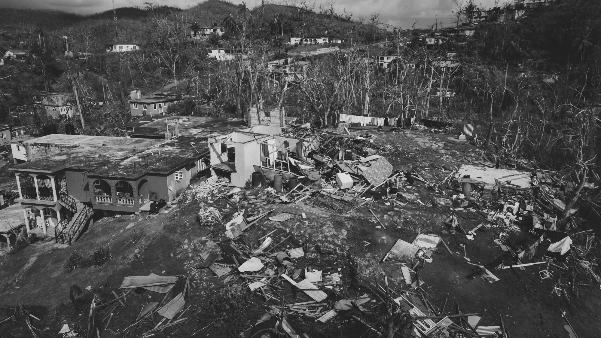
Hurricane Melissa left Jamaica with damaged roads, disrupted communications and an immediate need for reliable information. The useful lesson for drone operators is not simply that more aircraft can cover more ground. It is that a response works when the flight plan, data path and decision process are designed together.
Jamaica Flying Labs worked with government and mapping partners after the Category 5 storm made landfall on October 28, 2025. The Humanitarian OpenStreetMap Team records 300 drone flights across 75 assigned grid blocks, with about 3 TB of data collected across six parishes and 320 communities. That scale mattered because the work was organized around real response needs, not just imagery collection.
Start With The Decision
Every request should answer a specific question. Can a relief vehicle use this road? Which roof needs a ground inspection? Is a power corridor obstructed? A map pin alone leaves the pilot to guess what evidence will be useful.
A simple request form can capture the location, the decision owner, the output needed, the urgency and the operating constraints. It gives the pilot a reason to collect a continuous road view, an oblique image of a culvert or a close inspection of a damaged structure. It also gives the operations centre a way to compare requests and set priorities.
Divide The Area Before Launching
Jamaica Flying Labs used government assigned 3 km by 3 km grid blocks. That created a visible coverage record and gave each crew a clear handoff point for imagery and field notes. A local emergency team does not need the same software to use the principle. It does need a shared view of completed areas, active crews and open requests.
Grid based work is especially useful when public agencies, utilities and volunteer groups need information from the same damaged area. It reduces repeated flights and exposes the gaps that still need attention.
Keep Airspace Coordination Separate From Tasking
In an emergency, useful drone work can still create risk if it appears near relief helicopters, medical flights or other crewed aircraft. The Jamaica response used a temporary restriction on unauthorized drone flights while authorized crews worked through a coordinated system.
For Canadian operators, emergency work does not remove the need to assess airspace and conditions before flight. Transport Canada directs pilots to survey the operating area, check NOTAMs and follow applicable restrictions. A practical plan names one person to receive aviation updates, identifies a stop flight trigger and gives every crew a way to contact the operations centre.
Make Data Handoff Part Of The Mission
A flight is not complete when the aircraft lands. The field team still needs to label the mission, protect the source files, make a duplicate copy and move the material into the agreed workspace. If connectivity is limited, the team should know whether to upload later, move the card to a collection point or hold it for the next transfer window.
HOT's project combined drone imagery with community reports, satellite mapping and validation. Those sources did not all carry the same level of confidence. That is an important discipline for every incident map. Label what is a report, what is a satellite interpretation, what is confirmed by drone imagery and what still needs a ground check.
Let Local Capacity Lead
Local teams know the roads, the communities and the people who can confirm access. Outside partners can add processing capacity, GIS support and equipment, but they should reinforce the people who will remain responsible after the response ends.
Before storm season, agencies and commercial operators can identify local crews, agree on file formats, test a low bandwidth handoff and decide who approves the release of imagery. Those arrangements are much easier to make before the first urgent call arrives.
Deliver A Result Someone Can Use
An orthomosaic or point cloud can be valuable, but the receiving team may need a simpler answer. A useful package pairs the observed condition with the collection time, the confidence level, the next owner and a link to the underlying imagery. That can turn a drone flight into a public works task, a utility inspection or a ground verification request.
Hurricane Melissa showed what is possible when local pilots, mapping partners and public agencies share a single operating picture. Emergency drone teams do not need to copy Jamaica's scale. They do need to prepare the sequence that turns a flight into a verified field decision.

Related reading
Continue the thread.
Related posts are pulled from the same primary topic as the current article.
Governments Are Building Drone As First Responder Networks, Uruguay Shows The Pattern
Uruguay's Montevideo drone response program links ShotSpotter alerts to autonomous drone dispatch. For commercial operators, the lesson is integration, data control and staffing, not just aircraft performance.
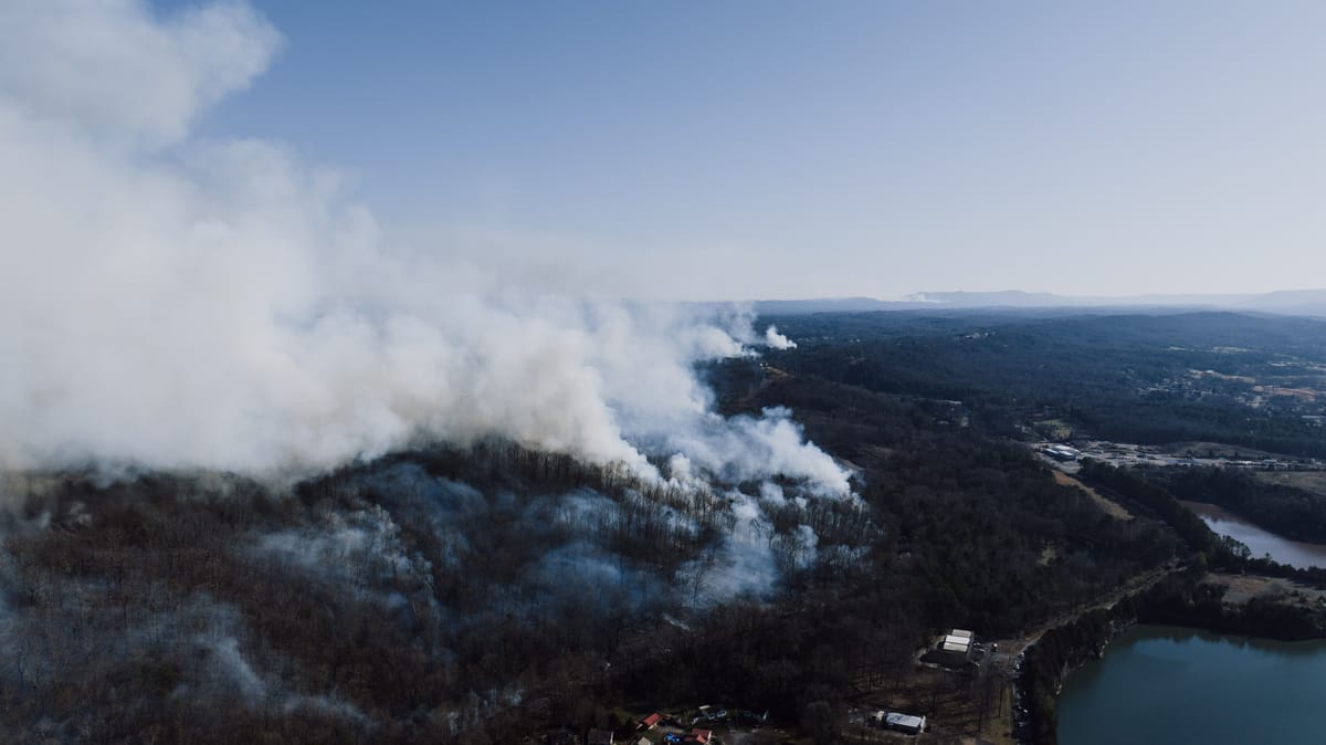
Why A Drone Over A Wildfire Is A Real Operating Risk For Commercial Teams
A firefighting helicopter encountered an unauthorized drone near Moab on June 9. The incident is a reminder that wildfire TFRs are not just a hobbyist problem. They are an operating risk commercial teams need to plan around.

Inside The Park Rapids Fire Drone Fundraiser: How Small-Town Departments Build Drone Capacity
Park Rapids Fire Department is fundraising for a search-and-rescue and wildland-fire drone. The story shows how smaller departments often build drone capability before budget cycles catch up.